Posts

Showing posts from March, 2015

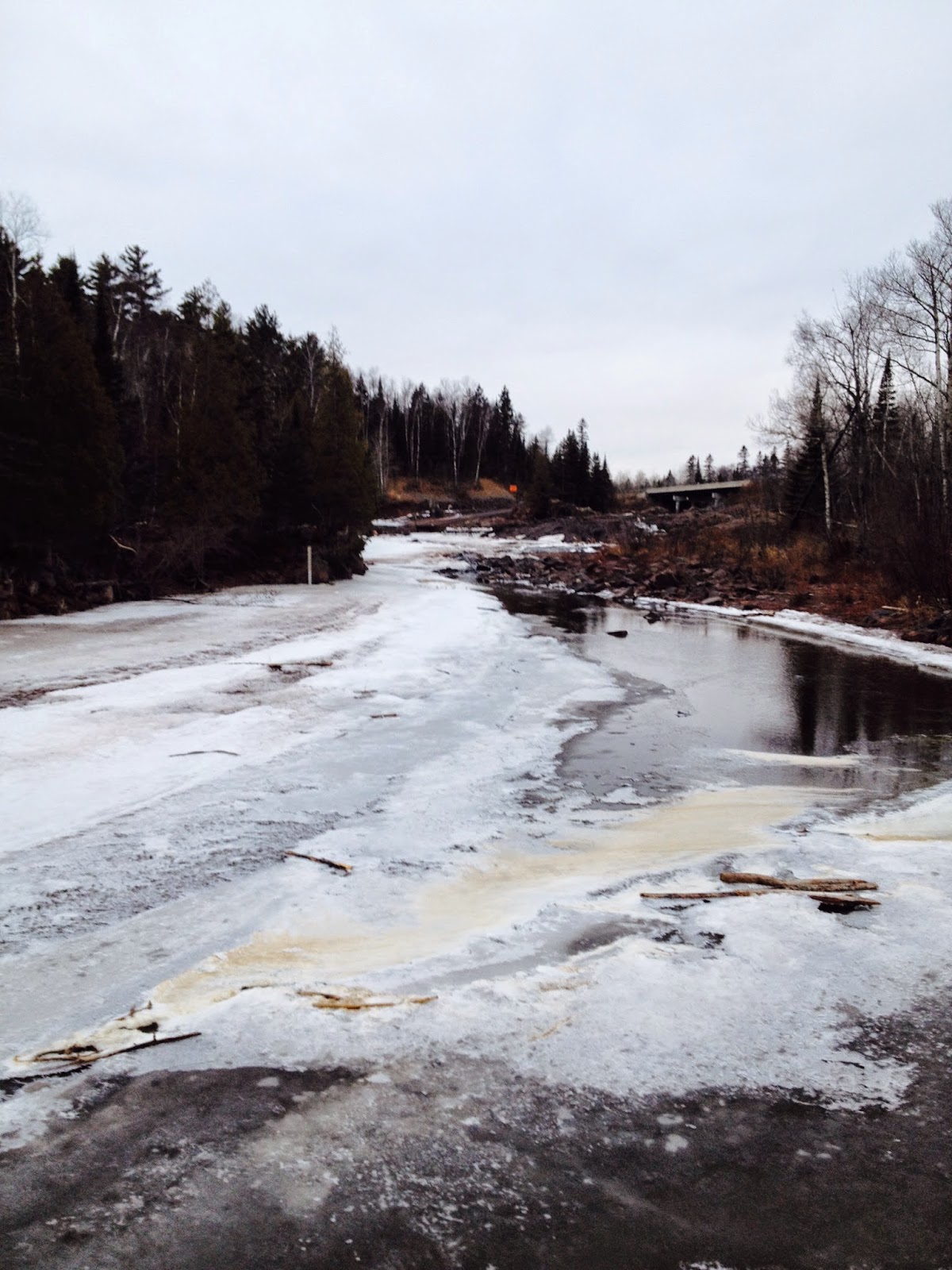
2015 MS Creel Project

Image
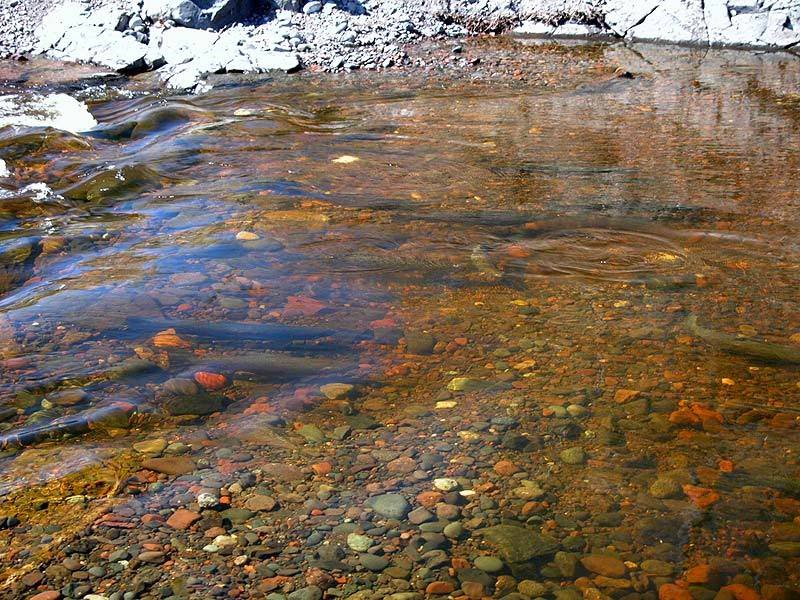
Whether you are new to Minnesota Steelheader, or simply missed it last year, we need your help! The Minnesota Steelheader Creel Project is a non-scientific poll of catch information similar to what is provided in the Official MNDNR creel reports. Your part is very simple - When you fish in 2015, simply record the following information: Species & Number Caught : Kamloops, Steelhead or Brook Trout The Region Where You Caught the Fish : Lower, Mid or Upper Shore. It is critical that you get the location correct. MS is not interested in the specific streams, simply the region, so please use this format: Lower Shore Region - All Tributaries from Mission Creek to Knife River Mid Shore Region - All Tributaries from Stewart River to Baptism River Upper Shore Region - All Tributaries from Little Marais River to Pigeon River including those on the Reservation. The Date the Fish Were Caught : Well, the date.... That's it! Species, Region and Date, how simple is that? There i

Current State of the Steelhead Union

Image
    In a word, Ice...     I took a whirlwind spin with a fishing buddy down the Lower-Shore from Two Harbors to points south, and the story right now is ice and ice cover. Here's a picture looking both upstream towards the new Knife River trap, and downstream from the same vantage point:     It was the same story everywhere. Water temps, even in the smaller tribs, are still low. And while there are occasional open slots here and there, and the mouths are open (sort of), there is still quite a bit of ice cover.     Currently the best game in town is shore-fishing for staging kamloops, steelhead (and the coho which are just after lunch). For a great rundown on shore-fishing, check out this previous post by MS board member LM: Shore Casting for Winter Kamloops   Regards- NMF

2015 March News Flash

Image
AP - North Shore, Minnesota March 14th, 2015 A certain Staffer at Minnesota Steelheader was nearly brought up on dereliction of duty charges today...     Mea culpa, this is what you get when you have a full-time job with too many irons in the fire on a direct collision course with steelheading. Quick update for now, but more regular reports coming because things are a' movin' as they say.     The intense warmup has brought about an astonishing brownup along points north. What you are looking at is a 250m resolution satellite photo of Gichi from March 9th: ...And now from March 13th:     This is important because the process of opening the streams and warming water temps accelerates significantly once the snow-pack is gone. The danger now actually becomes low flows if/when we lose our snow-pack too quickly; drought could be a real problem at this point.     One thing we are not seeing are those all-important sediment blooms out in front of the rivers, at least